Militaria
Wäsche
Bücher
Postkarten & Sammelbilder
Spielzeug
Uhren
Schmuck
Porzellan
Steingut
Glas
Silber und Metallwaren
Skulpturen & Bronzen
Grafik
Gemälde
Möbel
Münzen
Baustoffe
Zeichnungen, Aquarelle u. Mischtechniken
Sächsische Künstler
Rahmen
Jugendstil
Art deco
Design ab 1945
Asiatika
Musikinstrumente
Technik - Lampen - Schreibgeräte
Werbung
Varia - Vermischtes
Jagdliches
Bücher
Lot-No. 1039


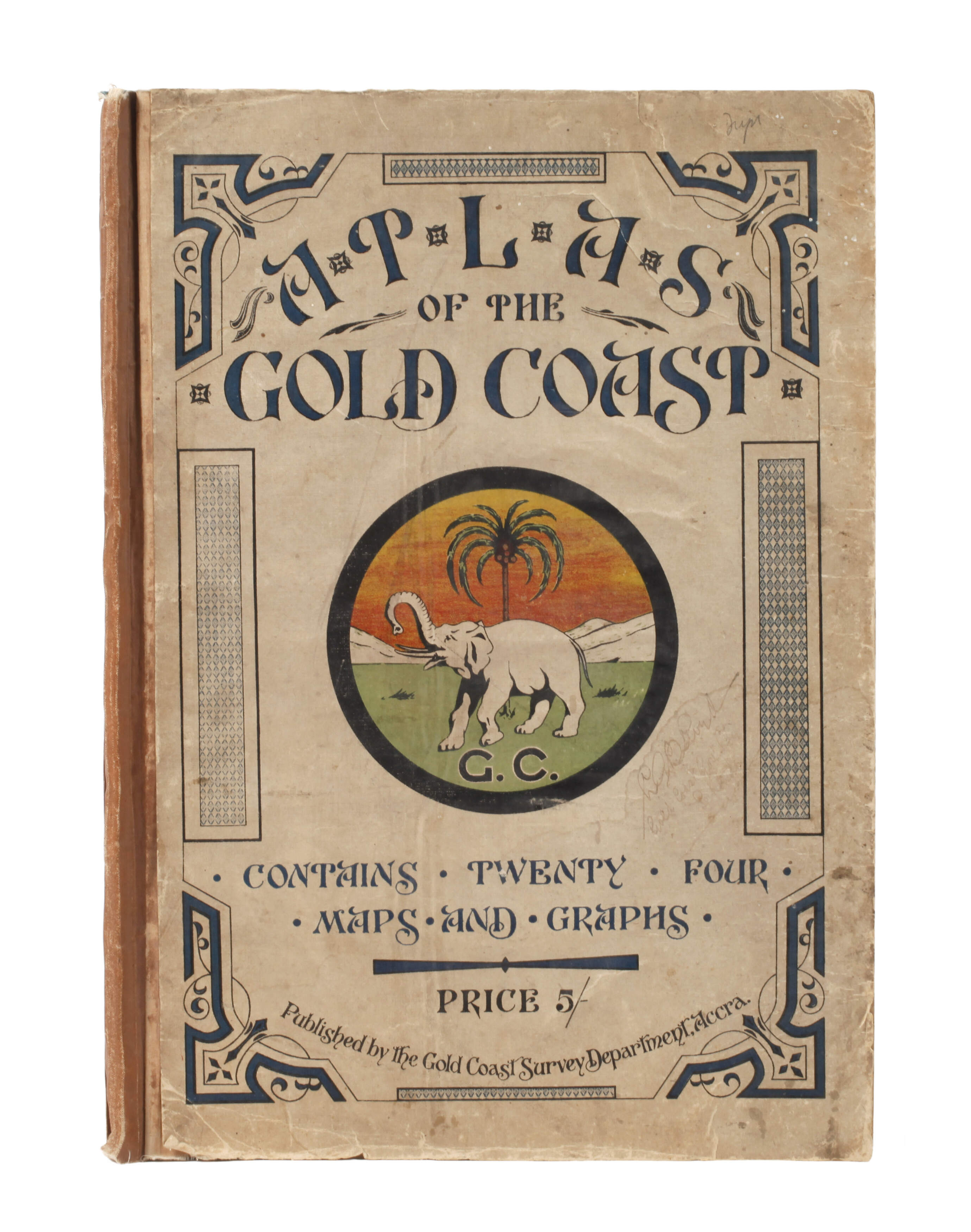
Atlas of the Gold Coast
contains twenty four maps and graphs, published by the Gold Coast Survey Department Accra (ohne Jahr, um 1930), Format Fol., beinhaltet grundlegende Informationen zu Population, Finanzen, Städten, Straßen und Eisenbahnnetz der Kolonie sowie 24 farblithografische Karten bzw. Graphen, Halbleineneinband der Zeit mit farbiger Deckelillustration, dieser stärker abgenutzt, die Karten jedoch in vorwiegend guter Erhaltung.
Limit:
20.00 €
Upcoming events
-
- Vorbesichtigung 123. Auktion
- 21. Aug. 2026 - 25. Aug. 2026
-
- 123. Auktion August 2026
- 27. Aug. 2026 - 29. Aug. 2026
-
- Einlieferung 124. Auktion
- 1. Sept. 2026 - 24. Sept. 2026
How does an auction work